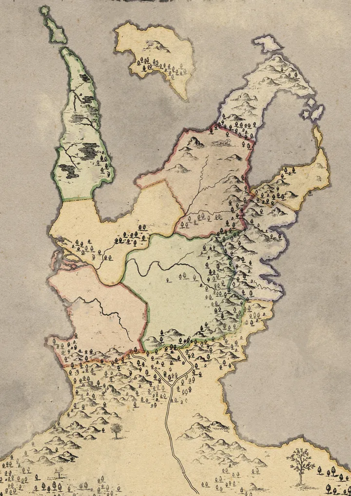
The Silk Roads of Hanura
This parchment was said to be drawn by traveling monks who followed the winding roads of Hanura, a coastal kingdom where pine-covered hills met the sea. The roads painted in soft gold were not mere trade routes but pilgrim paths, connecting temples hidden in forests. Travelers believed following these paths brought blessings, though few ever made it past the misty mountains.
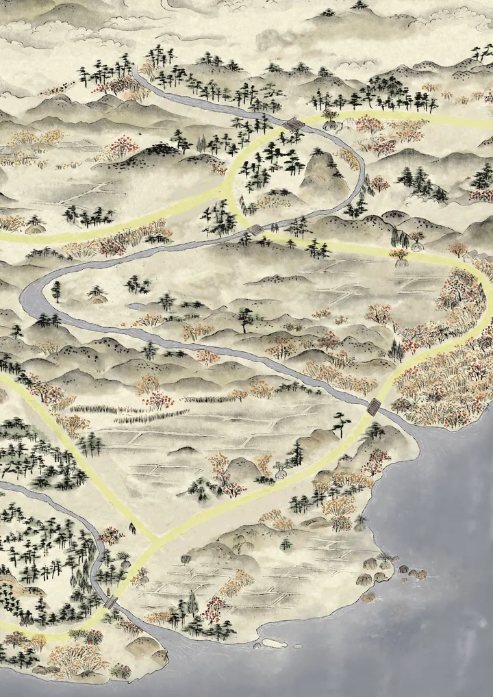
The Dominion of Erydon
Colored in faded pastels, each shade marks a warlord’s domain within the fractured empire of Erydon. The coastal strongholds once belonged to a single crown, but after the Great Sundering, generals carved their own realms. Cartographers meticulously noted every hill, forest, and fortification to plan their campaigns. To own this map was to hold the fate of armies.
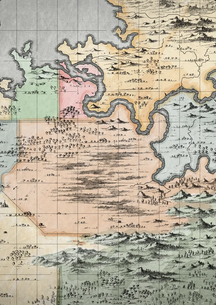
The Black Atlas of Aderwyn
Scholars believe it was never meant for rulers, but for wanderers — a way to trace forgotten trails through dangerous passes and stormy coasts. Some say the scribe vanished into the very landscape he charted, leaving the atlas unfinished.
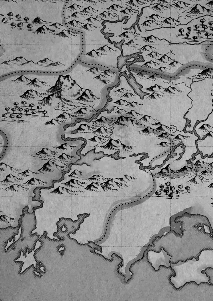
The Fragment of Oakhavens
Legend has it that the founders of the kingdom of Oakhaven were not native to these lands. Instead, they were refugees who survived a cataclysmic shipwreck and washed ashore on these unknown coasts.
The Sovereigns of Terrastria
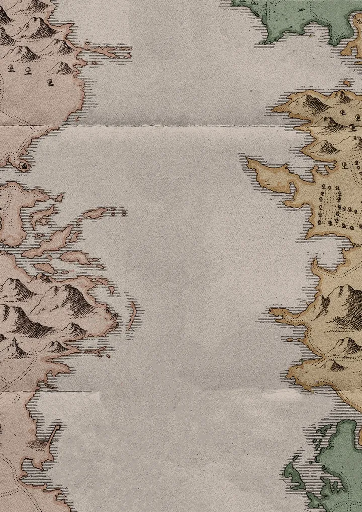
Centuries after the initial settlers of Oakhaven carved their names into the soil, their world, now known as Terrastria, has blossomed. This map, titled 'The Sovereigns of Terrastria,' is a highly detailed and politically charged document from a later, more civilized era. It wasn't created by an explorer charting new lands, but by a royal cartographer commissioned to create a definitive record of the realm's political landscape